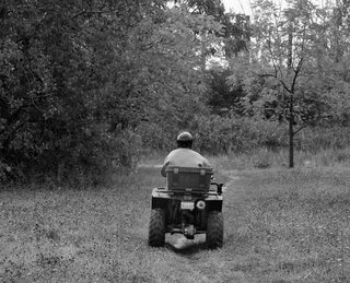
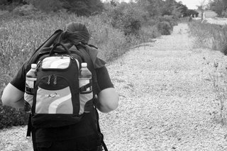
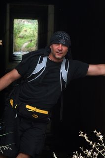
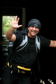
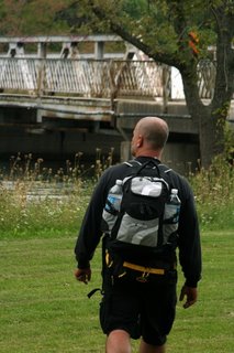
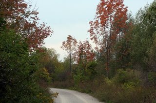
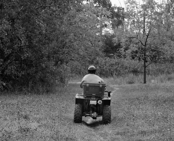
On Friday September 22nd, my friend Ron and I set out to complete the 24-km loop (thought at first to be 31-km) of the North and South Thorold Canal loops. There isn't really an official name that we have found yet for this loop..however this is how it is mapped out.
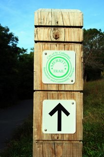

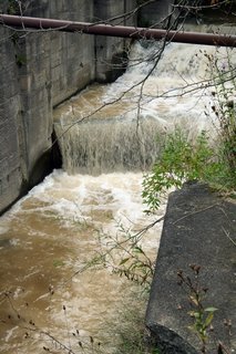
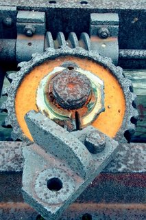
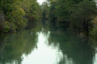
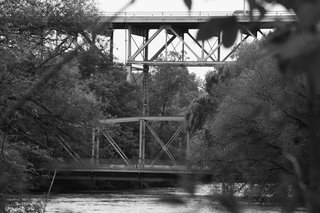
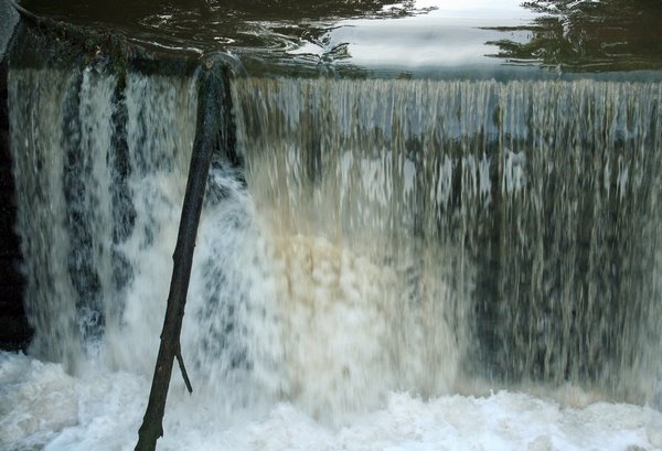
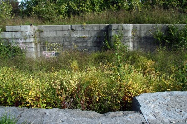
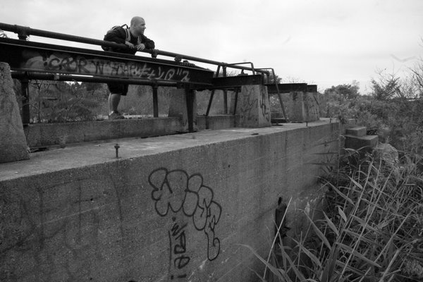
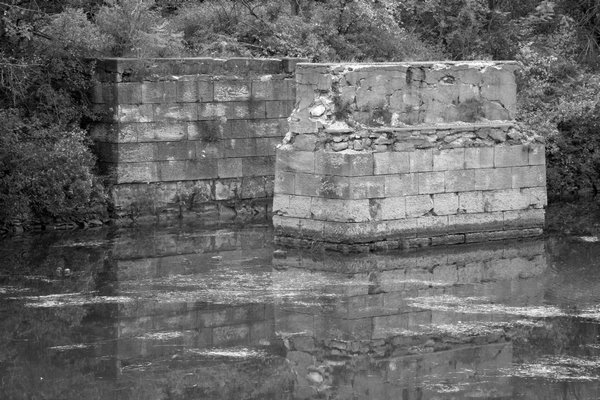
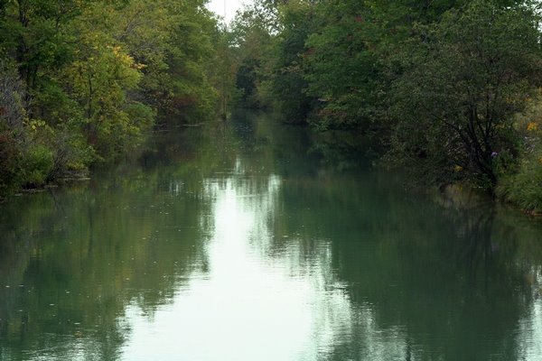
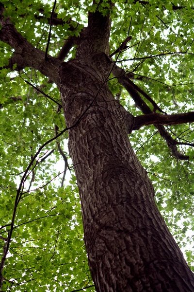
Starting out along the Merritt Trail from St.Catharines, along the Second Welland Canal through to Thorold. Through Thorold and reaching the Bert Lowe sidetrail, which meets up at the end of the Merritt Trail at the Thorold tunnel along Highway 58. The Bert Lowe Side trail travels south along the pondage areas and old canal systems that make up the new welland canal today. These trail systems spread all throughout the industrial areas of Thorold South. The old locks and old mechanisms for the Welland Canals of yesteryear were still pretty much intact, and provided excellent views as we passed by. Waterfalls created by the old locks are abundant along the trail. Some of the old locks are under water still, flowing well down the old paths for the boats of yesteryear... 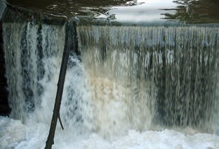
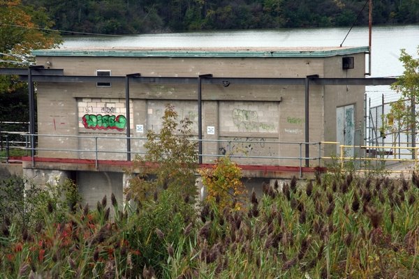
while other canal locks alongside the trail are mostly just covered over
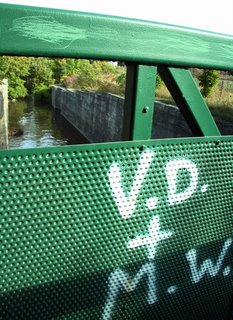
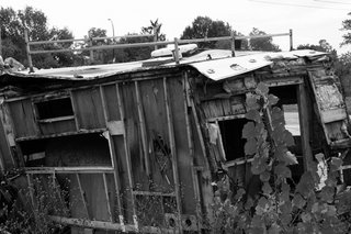
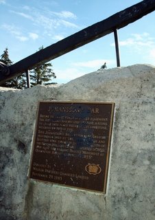
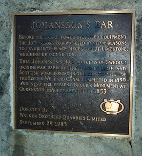
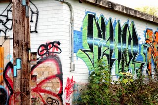
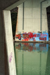
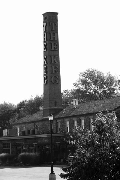
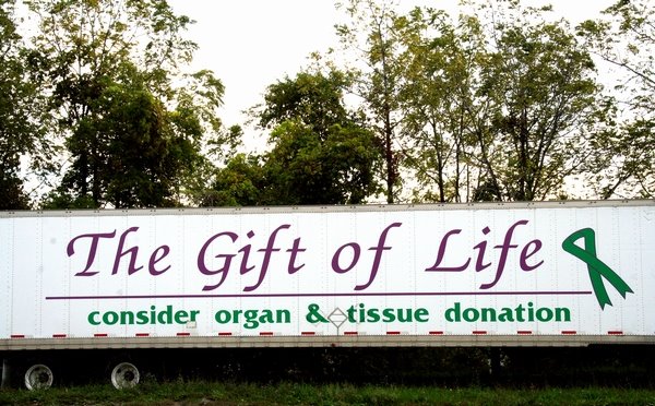
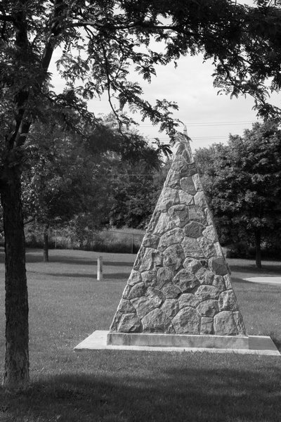
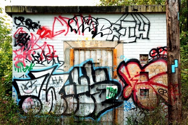
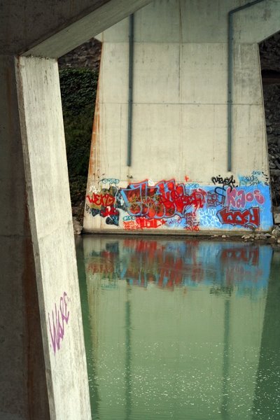
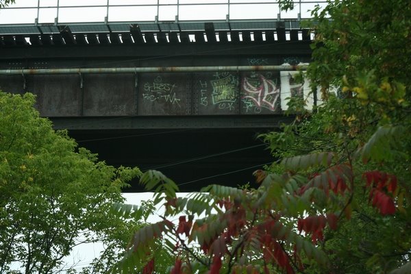
To view these wonderful spectacles along the Merritt Trail, one does have to mind the local art displayed alongside the area landmarks. An unfortunate reminder of just how close these lovely spots are to civilization..the natural aspect of the "trail" does cross paths many times with the city life around it. For this was a massive link to the Bruce Trail system ahead of us. We never thought we would ever go to Johansson's Bar along the way! We could have also stopped for a Keg Steak!


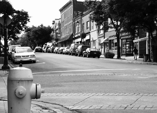
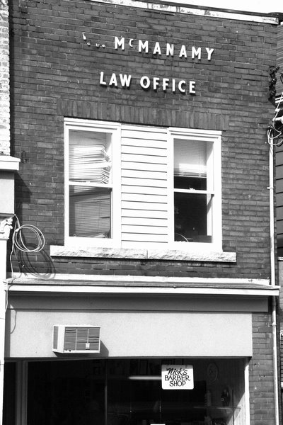
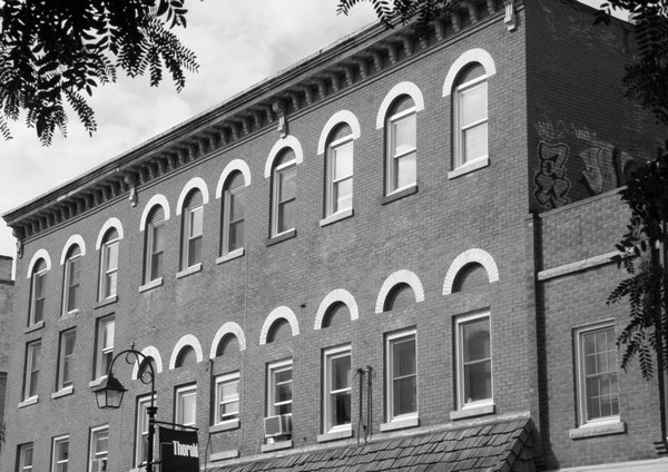
The Merritt Trail then follows through downtown core of the City of Thorold. 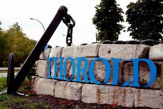 The city has quite a history to it,
 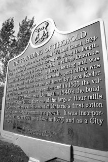 easily felt and seen by the architecture of the buildings. We stopped in quickly in the Central Home Hardware for a rain poncho. The dark clouds over Thorold that day were enough to make us realize that we weren't even halfway and it looked like rain! Continuing on through Thorold, the Merritt Trail passes by Battle of Beaverdams Park, through a subdivision, over highway 58 with the Thorold Tunnel nearby. At this point, the Merritt Trail joins the Bert Lowe Side Trail.


The trail then turns right, parallel to Highway 58, and through another small subdivision, 


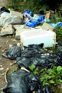
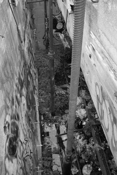
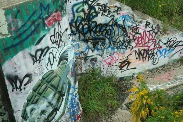
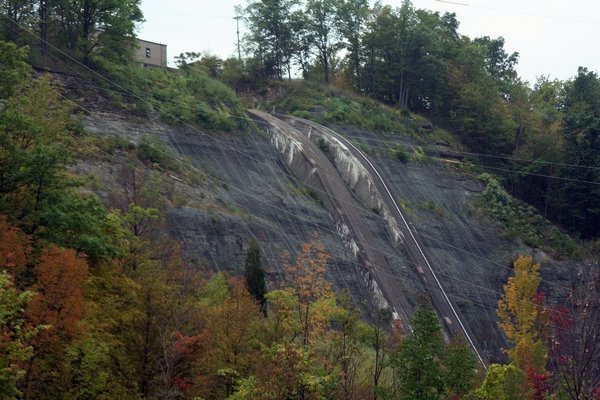
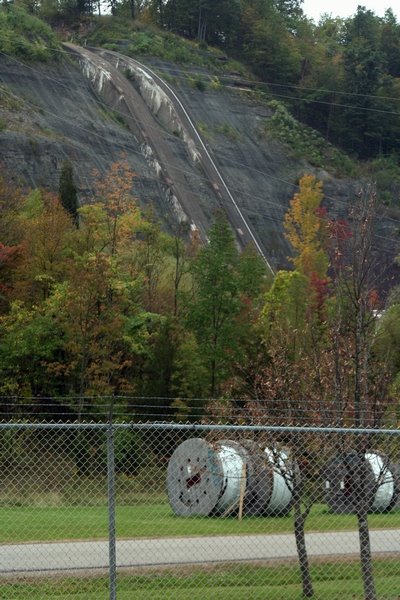
and then enters an industrial section of Thorold South, and passes by another canal system, possibly from the 3rd Welland Canal..something I will need to research further. One thing about this area, be cautious of the trail and dont place your garbage here like others have. More landmarks of the old canal system discarded alongside the canal, some with modern human interaction in form of paint...and..well..waste.


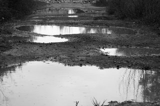
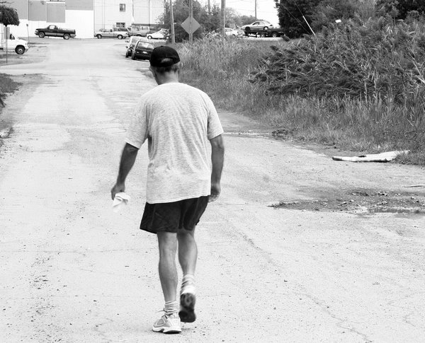
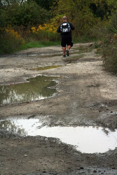
Following along the pothole-filled roadway alongside the old Welland Canal was relaxing, taking in the lovely smells of South Thorold factory air and the stench of the mud puddles around us. 
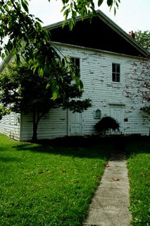
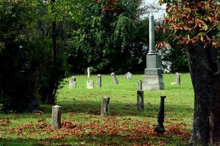
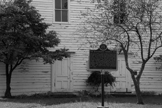
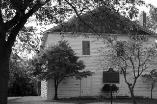
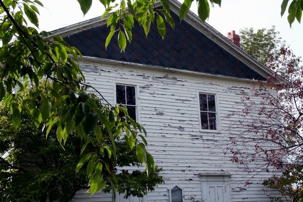
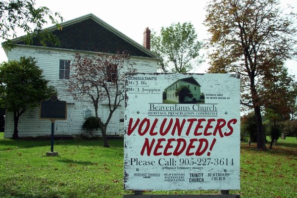
Luckily the trail ended at another subdivision, which was a pleasant end to a soft-on-the-feet trail that we were leaving behind. Within the subdivision was Beaverdams Church...in intriguing old building with an old cemetary next to it. This Methodist Church dates as far back as the late 18th Century and was in use until the late 1800's. I will need to research this old church further.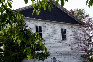


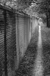
The Bert Lowe sidetrail then takes hikers along Beaverdams Rd (which by the way is a grueling 1.5km hike along an uneven rock path along the side of the road. Not comfortable by any means.)
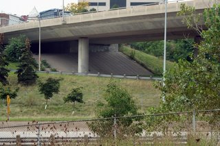
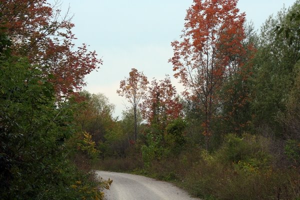
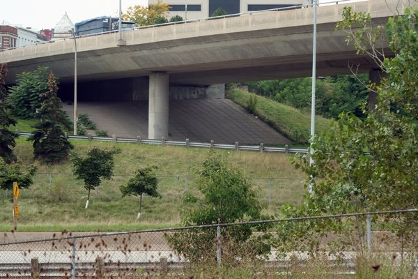
After a 1.5 hike along Beaverdams Rd, the path becomes a path, passes by two farms, along the old waterways of the old canal system again, and into the fields adjacent to Highway 406.
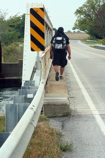


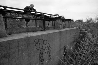
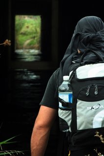
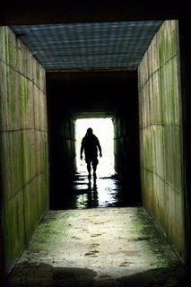
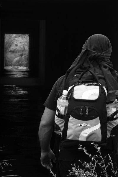
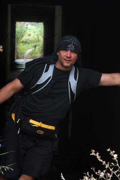
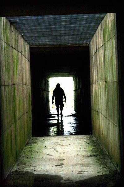
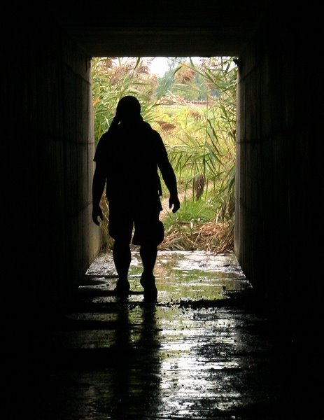
A small square shaped tunnel is constructed here, which allows hikers to pass safely under the 406 highway above. The tunnel is quite well lit by natural sunlight which pours through a grate ceiling in the middle. I took some time to capture what I could of the tunnel. Due to the high-overcast clouds this day, I will have to return for better shots on future hikes.


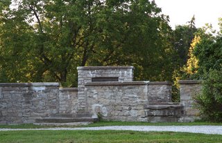
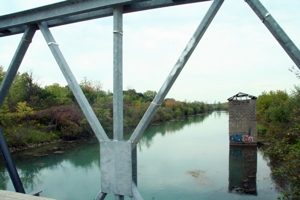
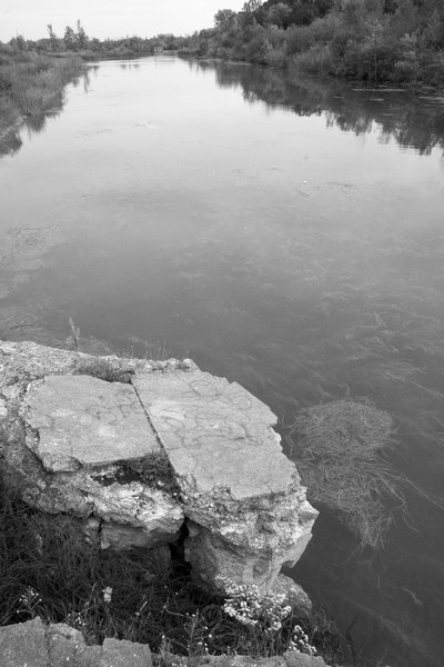
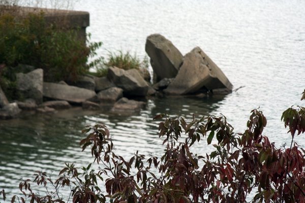
The trail then followed some farmer's fields, and along the south-west shore of Lake Gibson, and ended at the Decew House.
 This was the exact spot where we said goodbye to the Bruce Trail when we hiked the 36-km trek from Queenston to Decew a few weeks back. We were to take the Bruce Trail along the eastern shore of Lake Moodie until we would reach Twelve Mile Creek.
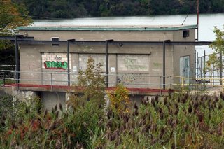
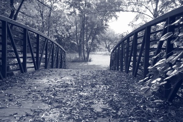
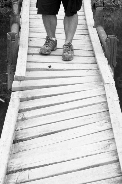
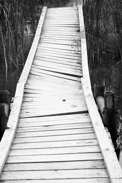
We found a perfect spot at the Decew House to rest up for a half hour of lunch. We ate our cold stew meal with limited supply of cutlery, and enjoyed some fruit for dessert. Taking in a few laughs, and after cheering the two of us on, we continued on, travelling "south along the Bruce" This particular section passes alongside the hydro-electric turbines along Lake Moodie, fenced in and protecting unwanted visitors. Then it dips down into a wooded area and across two boardwalks (watch out for the one with the broken middle), and it then meets up with the Twelve Mile Creek trail located behind the campus of Brock University.


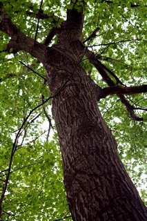
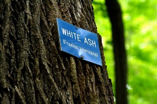
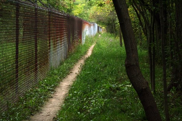
The Twelve Trail veers off to the north (left side of the Bruce), just behind the residences of the Brock University campus. The Twelve trail starts off by winding it's way down the side of Sanitorium Hill behind Brock University. Trees of many different types and labelled by name were bordering the path. Following our flora lesson, we were treated to excellent views of the Western hill area along with the hydroelectric station situated at the spot.
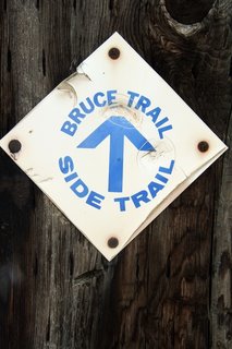
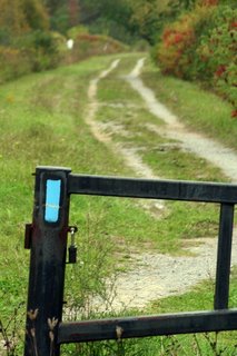
The Twelve Trail is marked with dark blue blazes..much like the Bert Lowe Side Trail. All official side trails of the Bruce Trail are marked blue, whereas the Bruce Trail itself is marked with white trail blazes.


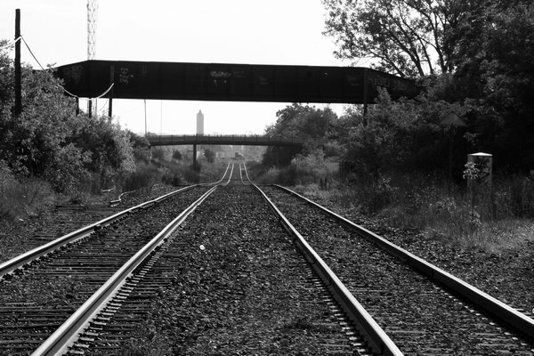
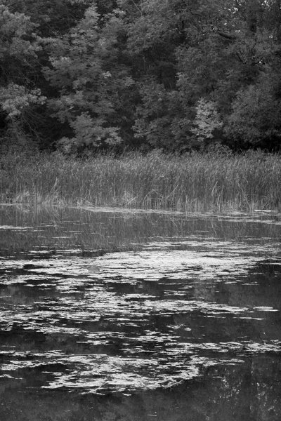
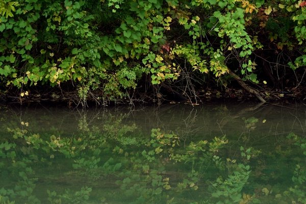
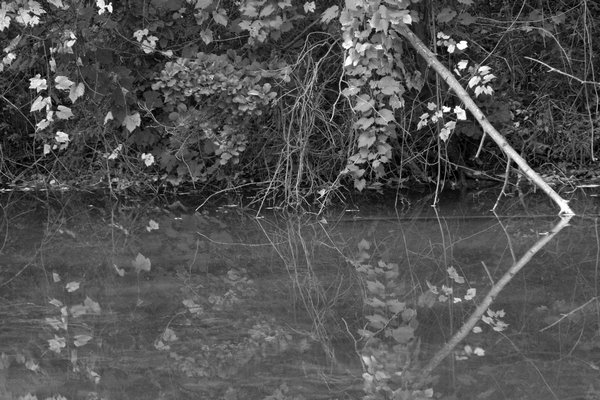
We followed the Twelve Trail along Twelve Mile Creek, stopping a few times to enjoy lovely views of the creek and it's surrounding lands. The trail took us underneath railroad bridges, as well as overpassing St.Catharines streets, crossing the creek below. The whole area is destined to be a watershed, maintained by the city of St. Catharines. I wish them all the best, as this truly is a gorgeous little gem situated in downtown St.Catharines.


The trail then took us out to Westchester Avenue, where it just seemed to drop off. No trail sign for the Merritt Trail (which should have linked up with the Twelve Trail at this point), and the Blue markers just simply ran out. We knew the Merritt Trail linked up here somewhere, so we decided to walk east along Westchester to see if we could located the beginning of it. We did!
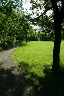
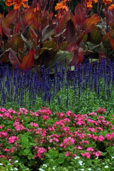
At the corner of Geneva and Westchester, we could see the golden yellow blazes on the hydro poles, signifying the Merritt Trail. We were almost done the loop! We continued along Geneva, along Gale Crescent and down into Centennial Gardens Park.

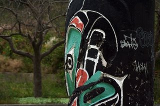
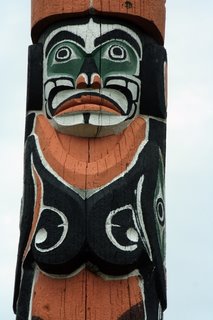
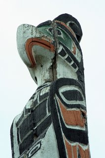
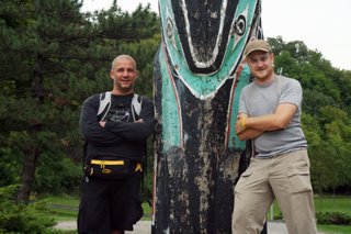
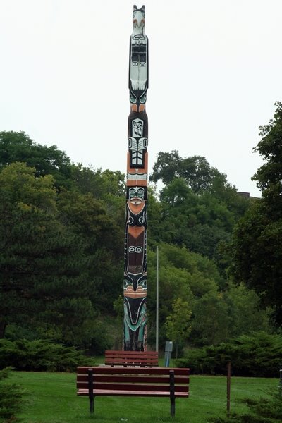
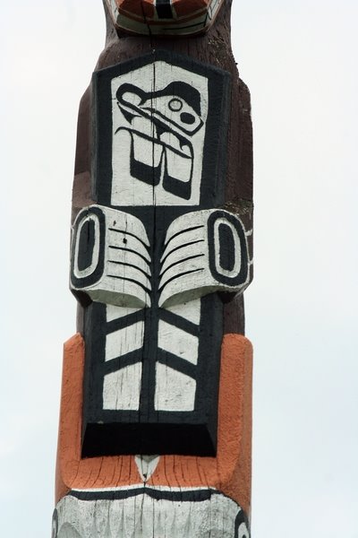
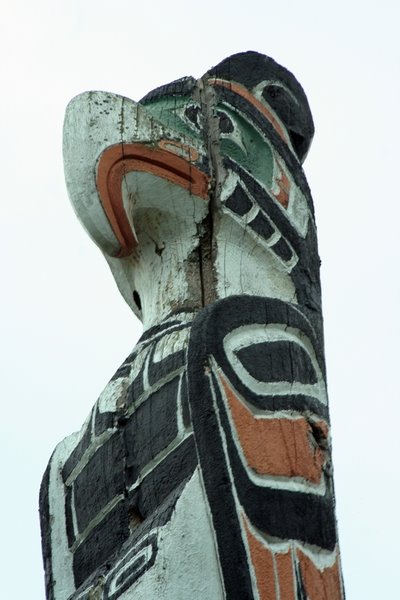
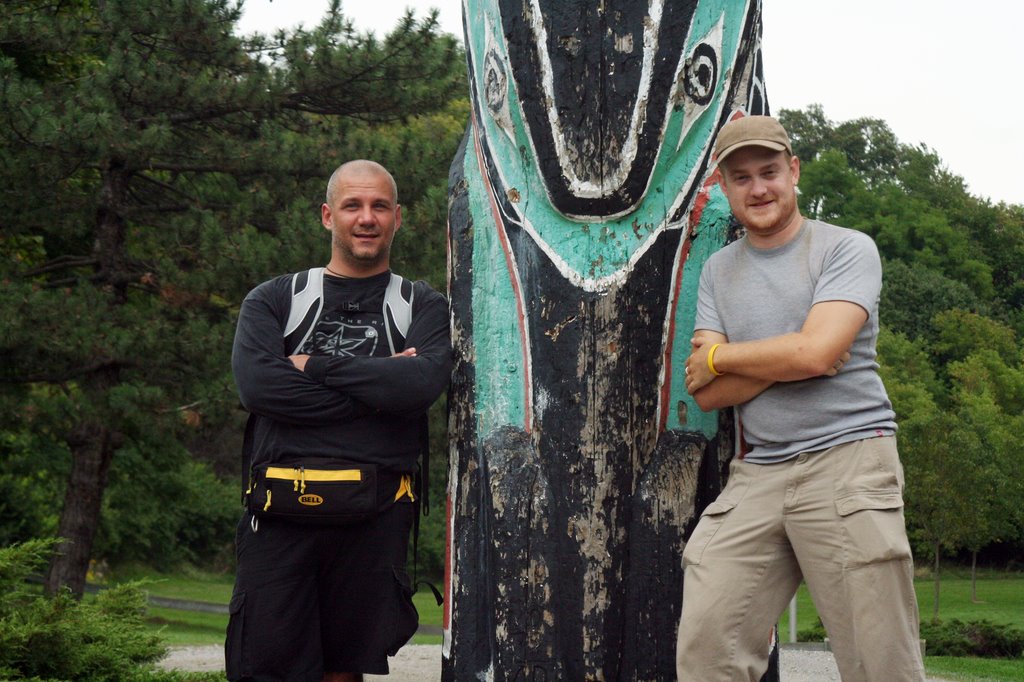
The trail then winded its way past a huge totem pole which made a great marker for the end of the trip. There isn't much on the totem pole online, but I will endeavour to do a writeup on the carving. It is said to be from British Columbia and was apparently carved by the Haida peoples.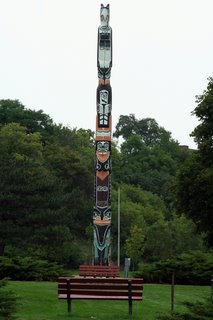

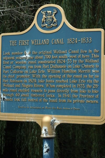
My apartment complex is located 200feet away from the totem pole. We continued on, passing by a marker for the Historic Welland Canal, and arrived back at my apartment.
 We completed our journey along the Old Welland Canal system.
The trek only took us 8 hours to complete and was not challenging at all, aside from the amounts of roadwalk. We only hiked along natural trail for a small section along the Bert Lowe, as well as along the Bruce Trail. The majority of the Twelve Trail was natural.
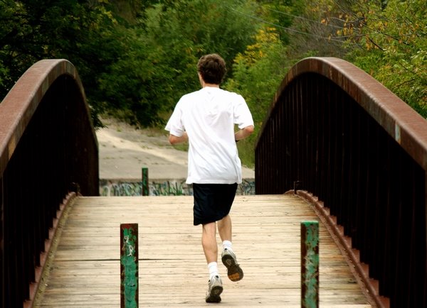
The Merritt Trail follows a paved path, as well as gravel..it also cuts through many subdvisions throughout the town of Thorold. A fairly easy loop this is, and we definitely recommend it for anyone just wanting to get some good exercise for the day...or for those who want to explore the outer areas of the City of St.Catharines.
Until next week for the next featured hike..enjoy our photos from the North & South Canal Loop!
~Tom
* Next Week!: Spencer Gorge Wilderness Area


